Gas Distribution Pipeline Replacement Mapping
Quick Facts
- 795 structures were inspected over 8 weeks.
- Utilized GIS technology and a manhole scanner to collect field data.
- Analyzed field data and provided QA/QC for the Client’s pipeline replacement planning.
Metro Consulting Associates (MCA) collected and analyzed field data on 795 of the City of Royal Oak’s catch basins, storm manholes, sanitary manholes, and tops of water gate wells over the course of 8 weeks for the Client’s gas distribution line replacement.
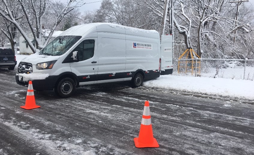
Depending on the difficulty of the structure’s location, our field team used traditional survey methods and manhole scanning technology to gather information about each structure, such as elevation, inverted depths, and inverted elevations, as well as the pipe’s diameter, material, and direction.
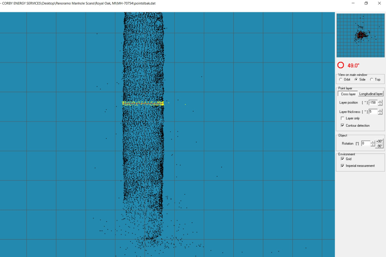
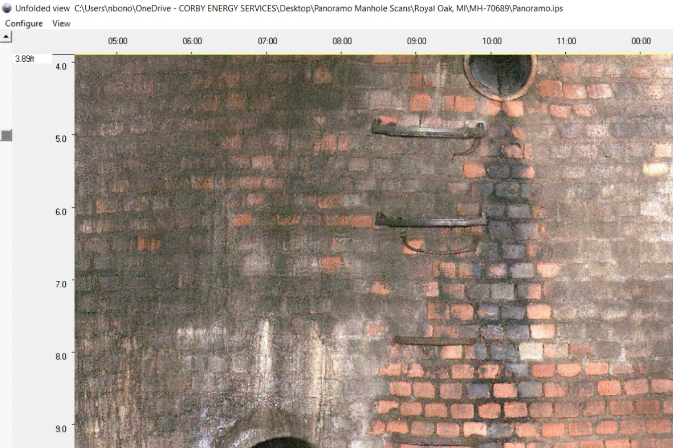
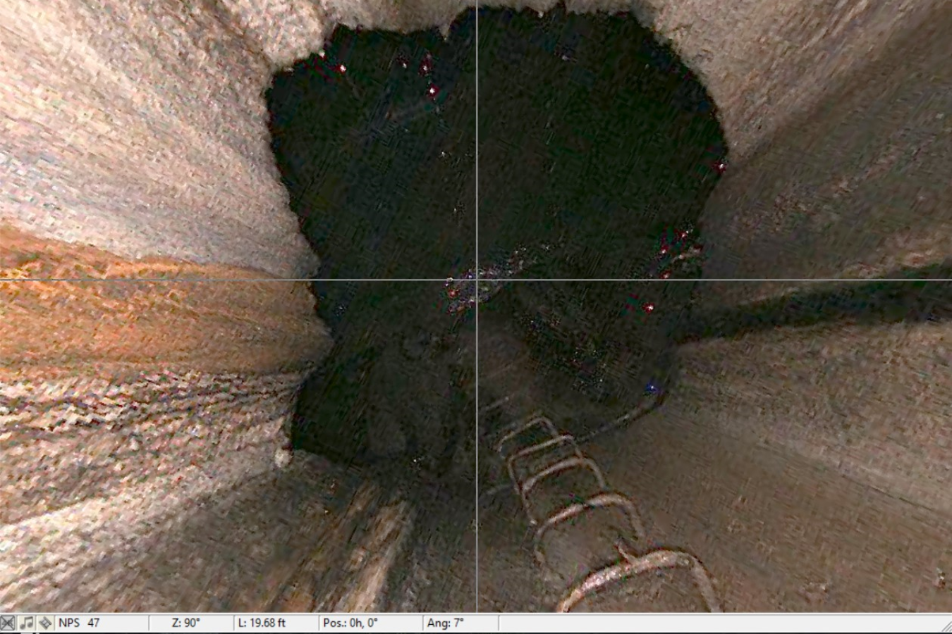
After collecting the field data, our GIS team analyzed it and performed quality assurance and quality control procedures. Additionally, the team created easily identifiable visuals for the client, including point cloud images and pictures. Our Land Survey team processed the analyzed data and prepared the deliverables to submit per the Client’s request, enabling them to accurately plan for and map their pipeline replacement project.
