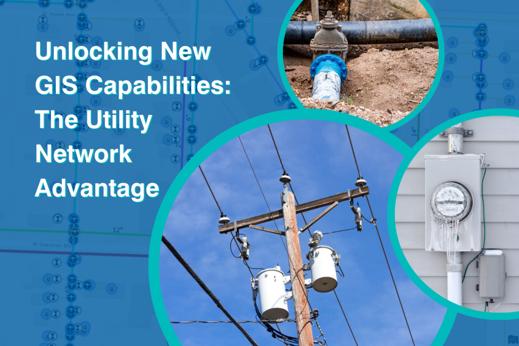
Unlocking New GIS Capabilities: The Utility Network Advantage
Is your community all too familiar with working with outdated infrastructure, constrained by limited system capabilities, and reactive responses to emergencies? If so, it’s time to modernize with the utility network, designed for the complexity of today’s infrastructure.
Esri’s ArcGIS Pro’s utility network is an advanced data model for managing, analyzing, and visualizing multi-utility systems such as gas, water, and telecom. This new system replaces Esri’s older geometric network with a more scalable, performant, and intelligent system.
With impressive advantages to the new network and impending risks of avoiding it, now is the time to migrate your data.
What is the utility network advantage?
Safeguard Security and Keep Compliance
Data security is a top priority. The utility network can be used as web services secured with user authentication, role-based access, and HTTPS encryption. It enforces strict topology rules, supports branch versioning for edit tracking, and allows detailed control over who can view or edit specific network parts. These factors help ensure it maintains compliance with evolving security standards.
Future-Proof Your Infrastructure
The updated system can grow with the city’s needs and integrate new utility services within one polished place. Integrative apps like Field Maps or Survey123 allow the network to seamlessly integrate field and office updates, enhancing the team’s collaboration and overall understanding of infrastructure. Real-time data strengthens the system’s preventative maintenance capabilities by identifying inconsistencies or concerns, such as a valve listed as closed but recorded as open in the field, allowing municipalities to effectively spot problems before they become emergencies.
Additionally, the system can help identify aging assets based on installation year and material, allowing targeted replacements before failures occur. The network lets the municipality make precautionary decisions before disaster strikes by tracking service history and flagging overdue inspections.
Increased Service Efficiency – Saving Time, Reducing Costs
The new system is standardized with automated rules to enforce connectivity and integrity. This requires less manual quality assistance and quality control practices, a critical advantage for lean GIS teams with limited capacity.
Additionally, improved analytical systems and enhanced visualization make exporting data for thorough analysis and reporting easier, which can support the municipality’s regulatory requirements. This is particularly beneficial when working with state or federal money, such as grants or loans, on infrastructure projects and programs.

The image above illustrates how the utility network is managed in ArcGIS Pro.
Although purchasing the Esri enterprise and migrating the data has an upfront cost, the long-term payoff is worth it. Expenses previously wasted on extended time required to perform daily tasks will be dramatically reduced.
Empower Your Teams and Citizens
The system enhances team efficiency, diminishes roadblocks, and accelerates regular tasks, empowering teams and boosting morale. Additionally, with the continuous support of Esri’s continuous systematic updates, your team won’t get frustrated with limited software capabilities and support, as they would experience in the case of staying with the geometric network.
The network can improve municipal communications with constituents by enabling easy download and analysis of infrastructure information. Sharing appropriate data supporting a message to the community, whether an emergency alert or an update on municipal activities, can increase transparency and encourage public trust.

Don’t wait, start the migration today.
As legacy systems approach retirement in March 2026 and infrastructure demands grow, there has never been a better time to transition.
Migration now ensures the municipality can secure data privacy, increase operational efficiency, empower stakeholders, and avoid the risk of a rushed, expensive and error-prone migration. Starting today allows time to strategically plan and complete the migration with fewer operational and financial disruptions.
From Geometric Network to Utility Network: The Data Migration Process
Migrating your data is no easy feat. Learn the steps to ensure your transition is completed well.
Contact the pros.
Your municipality’s GIS team is hard at work managing your community’s data daily. Don’t tackle this migration alone. Metro Consulting Associates (MCA) serves as a trusted and reliable partner to help your municipality transition. From consultation and strategizing to data migration and onboarding, our team is with yours every step of the way.
Interested in learning more? Contact our GIS pros today!


Stay connected!
Subscribe to News + Ideas